Land & Topographic Survey
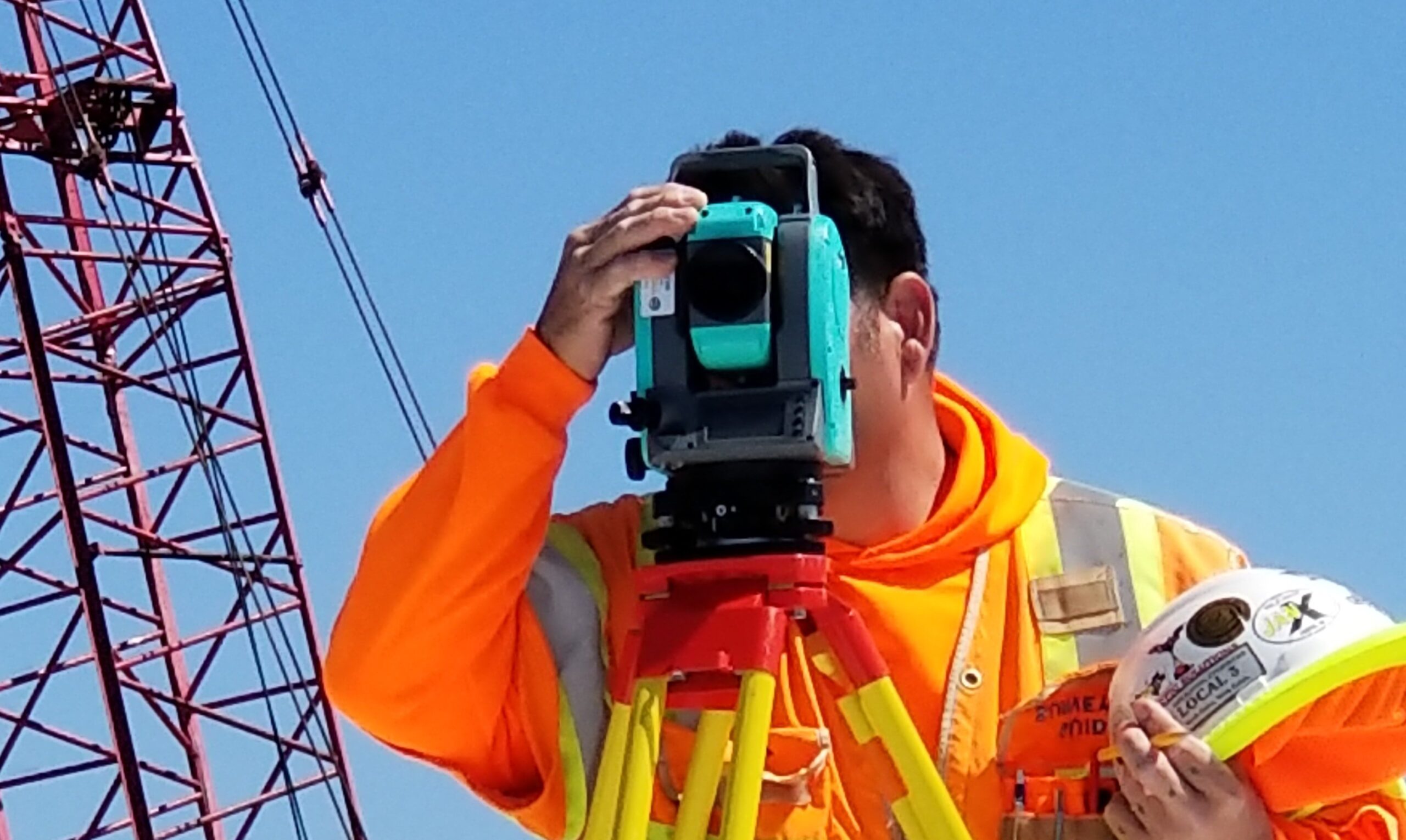
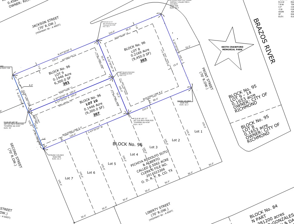
At VISTACES, our Land and Topographic Survey services provide property owners, developers, architects, and contractors with the precise site information needed to plan, design, and build with confidence. Using advanced surveying technology and detailed field measurements, we deliver accurate representations of existing site conditions that support informed decision-making from the earliest stages of a project.
Land and topographic surveys are essential for understanding boundaries, elevations, slopes, drainage patterns, and physical features across a site. This information helps identify grading challenges, design constraints, utility conflicts, and other conditions that may affect construction. By establishing a reliable foundation of site data, we help reduce uncertainty, minimize costly revisions, and improve coordination between project teams.
Whether your project is residential, commercial, municipal, or mixed-use, our land and topographic survey services provide the dependable information needed to move forward efficiently and accurately.
By combining precise field data with responsive project support, VISTACES helps clients better understand their sites, improve design coordination, and establish a strong foundation for successful project delivery.
Schedule a free consultation with Vista today to learn how our land and topographic survey services can help your project move forward with clarity, accuracy, and confidence.